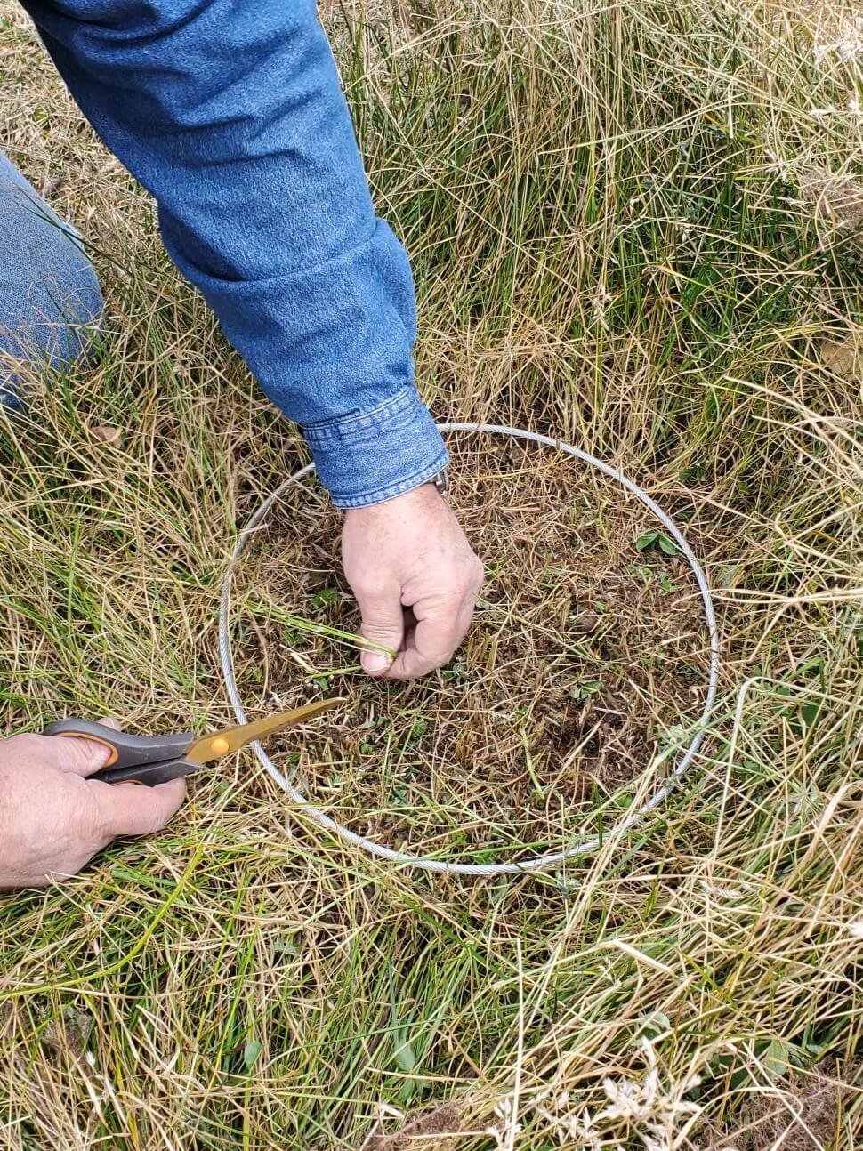
This powerful program offers insights into ground cover proportions, plant species composition, vegetation stubble heights with minimum use guidelines, production estimates, suggested stocking rates, and animal presence from fecal counts. Photos can also be uploaded for a visually appealing supplement to the record. Altogether the entered information provides an easily accessible and comprehensive report of rangeland conditions that can be used to make informed land management decisions.

We provide proven, scientific based methods for ranchers, land managers, and policy makers in assessing and making natural resources management decisions.

Explore how RaDAR can make land management easier.
